The main points
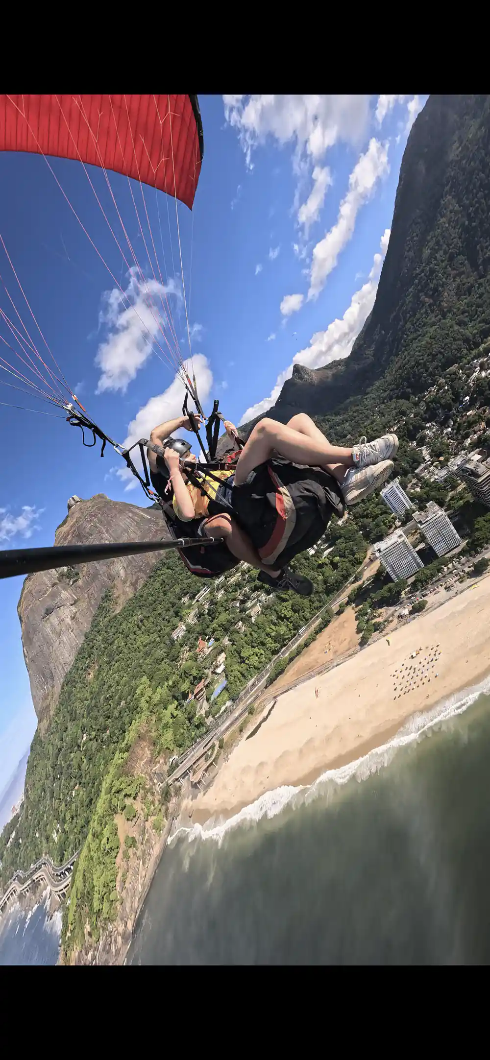
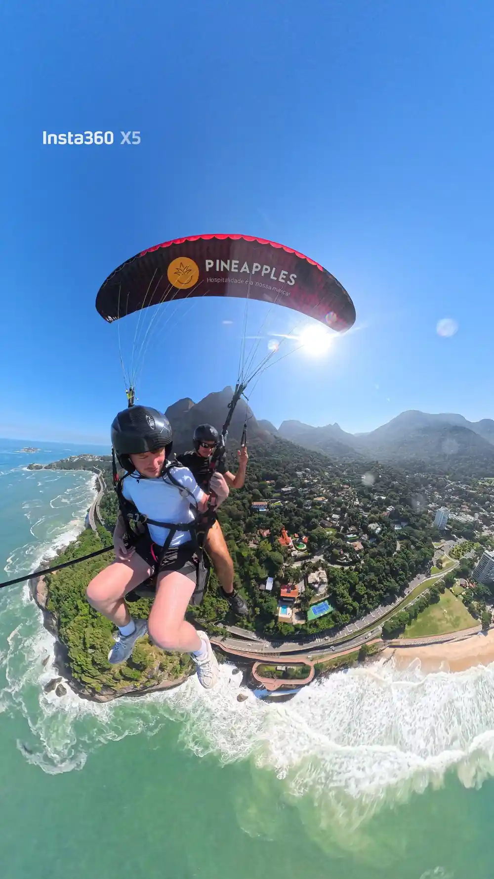
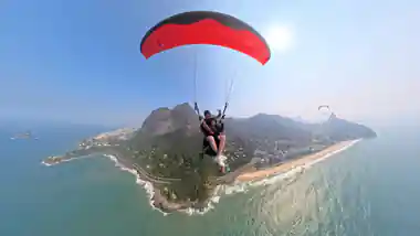
- For most of the flight you are looking down at the Tijuca forest, the protected woodland between the ramp and the city.
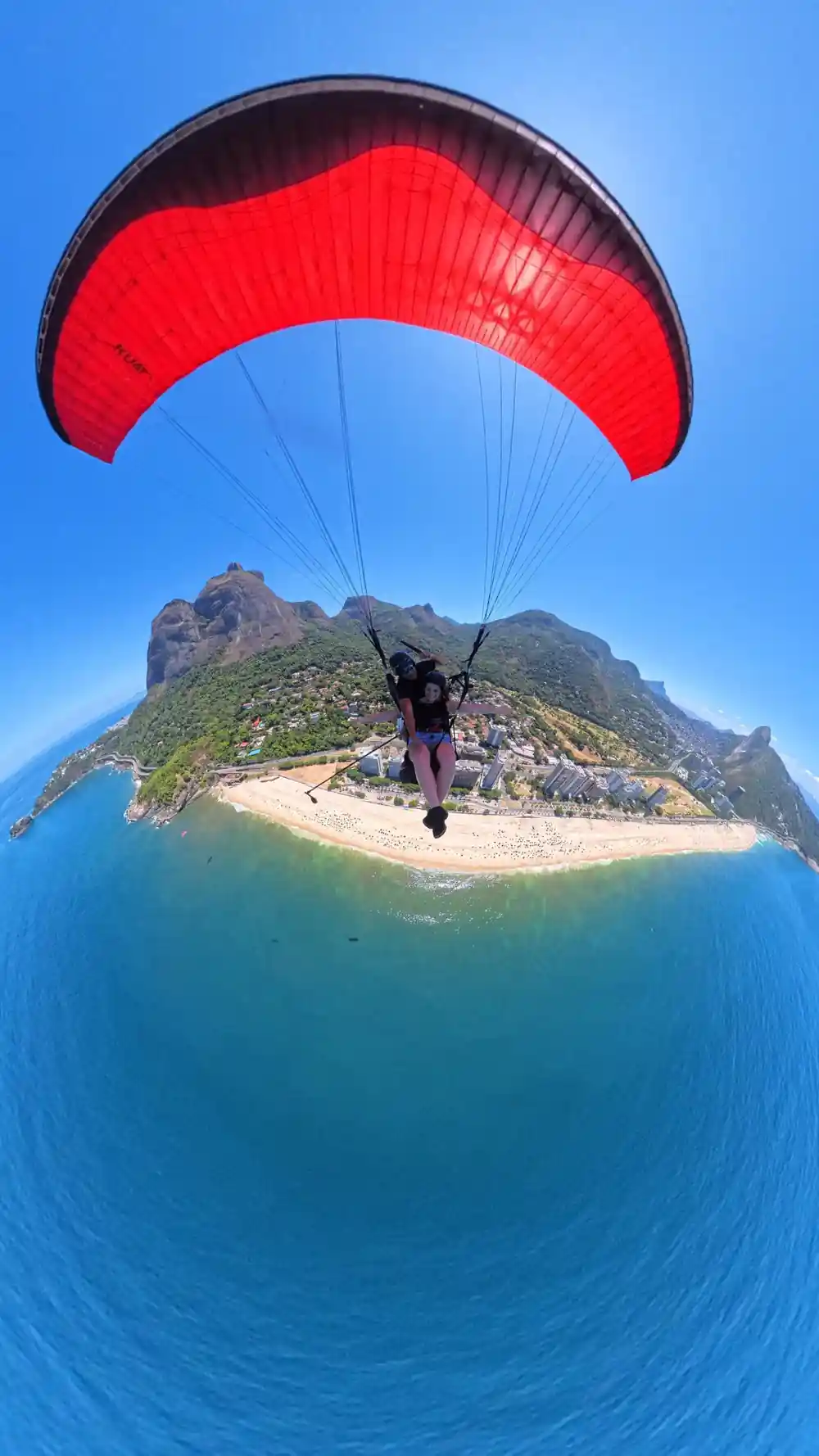
- The flight ends on the sand at Sao Conrado beach, with the neighbourhood and the wider city visible as you come down.
- What stands out on the horizon, Christ the Redeemer included, depends on the air and the direction the pilot takes that day.
- GoPro footage of the entire flight is included, so you can watch the view back afterwards instead of trying to film it yourself.
What Passes Beneath You
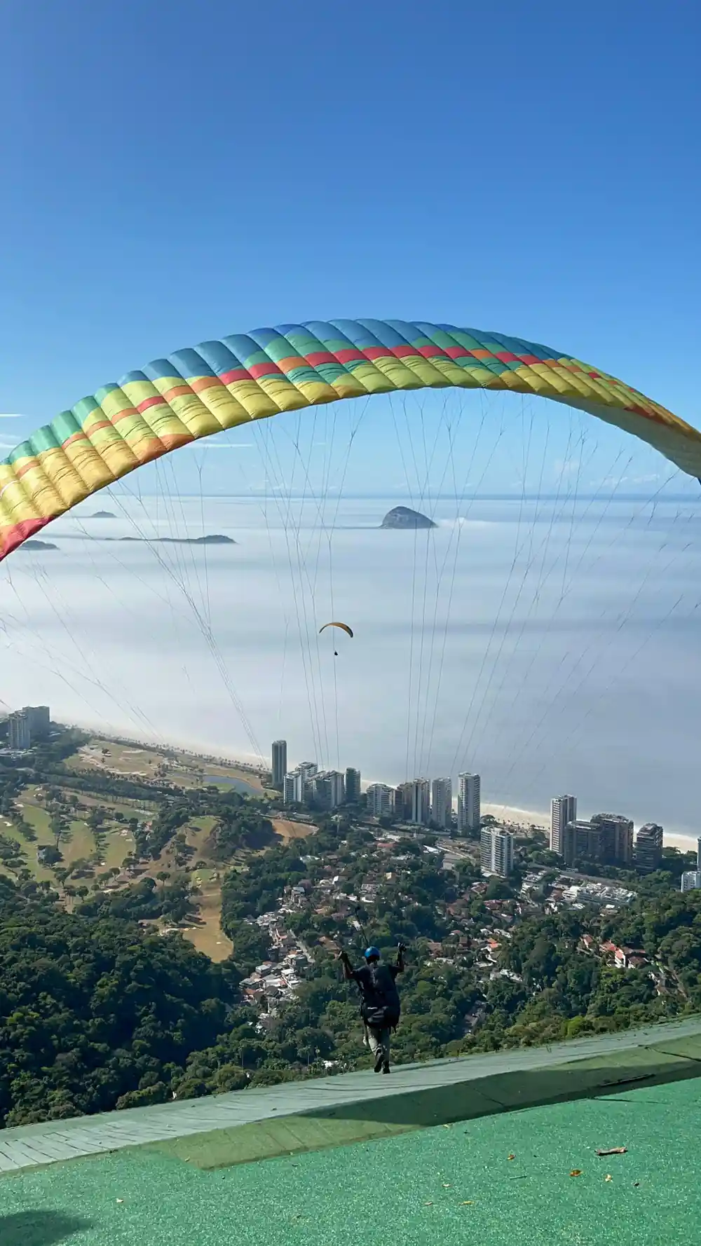
The wing lifts off the wooden ramp at Pedra Bonita and the ground beneath it changes fast. Forest gives way to a ridge, the ridge opens out toward the coast, and the coast is where the flight ends, on the sand at Sao Conrado beach. None of this is gradual. It is a short flight over a landscape that changes character every few minutes: trees, then rock, then sand, then the wider city.
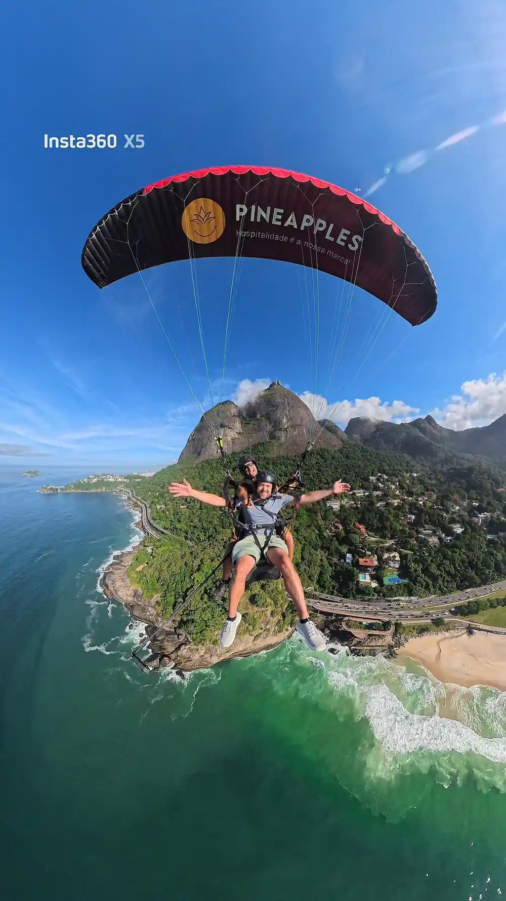
The order holds even when the exact path on a given day does not. You launch above the Tijuca forest, pass along or near a ridge line, and come down over a beach with the rest of the neighbourhood and the city spread out behind it. That sequence, forest, ridge, beach, city, is what the flight actually shows you, rather than any single landmark you might have in mind before you book.
The Tijuca Forest From the Air
Tijuca is a large area of protected forest inside the city, and the road up to the Pedra Bonita ramp runs straight through it. From the air the forest reads as one continuous canopy, dense and unbroken, running right up to the rock the ramp is built out from. It is the first thing under the wing and it stays under you for a good part of the flight.
The contrast is what makes it worth noticing. A forest this size sitting inside a city the size of Rio is not the usual arrangement, and seeing the edge of it from above, tree cover ending and city or coastline beginning, tells you more about how the two sit next to each other than any view from ground level does.
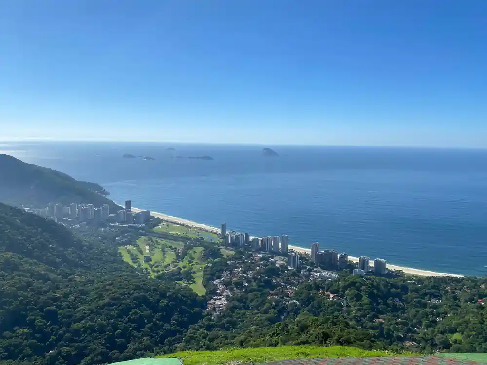
The canopy of the Tijuca forest passing beneath the wing on the way down to Sao Conrado.
The Christ the Redeemer Question
Christ the Redeemer is the reason a lot of people search for this flight in the first place, and the honest answer is that whether it stands out on the horizon on your flight depends on the air that day and the direction the pilot takes. It is not a fixed part of the route in the way the forest, the ridge and the beach are.
If seeing that one statue is the reason you are booking, ask the operator about it before you pay rather than assume it from a photo somewhere else. A pilot reading conditions on the day chooses the route those conditions allow, and a landmark on the skyline is not something a flight can promise in advance.
None of this makes the flight less worth doing. The view that is guaranteed, the forest thinning into a ridge, the city opening out below, and the beach coming up to meet you, is the reason people come back from it talking about the flight itself rather than any one landmark they hoped to spot on the way down.
Sugarloaf and the Rest of the Skyline
The same is true of Sugarloaf and anything else on the Rio skyline you might be hoping to spot. Some of it may be visible somewhere in the distance on a clear flight, some of it may not, and which is which changes with the weather and the line the pilot flies that day. Nothing about the skyline is guaranteed by the booking.
What the flight does guarantee is the ground directly beneath and around it: the forest, the ridge above Sao Conrado, and the beach and city you descend toward. Treat anything further off, Sugarloaf included, as a bonus if the day gives it to you rather than a feature you are owed.
A pilot who flies this route routinely is still working with the day in front of them, not a fixed script, so two flights a week apart can look different on the skyline while covering the same forest, ridge and beach underneath. That is the part of the view worth planning for.
4 languages
The flight is guided in English, Spanish, Portuguese and French, so the pilot can name what you are flying over as you go.
Sao Conrado Beach and the Ridge Line
Sao Conrado is the beach and neighbourhood directly below the ramp, and it is where every flight lands. From the air it is the clearest fixed point in the whole route: the sand gets larger as you descend, the buildings around it resolve into streets, and the ridge you flew along from Pedra Bonita sits at your back.
The ridge itself is worth watching on the way down as much as anything further off. It is the line the flight follows between the forest above and the beach below, and watching the ground shift from trees to rock to sand along it tells you more about the descent than a single photo of the beach ever could.
Getting the View on Camera
GoPro footage of the entire flight is included, which matters more on this flight than on most: it means you do not have to choose between holding a camera and actually looking at the forest, the ridge and the beach as they go past. The footage covers the whole thing, launch to landing, so it can wait until you are back on the ground.
Images from a 360-degree camera are not included, so if you want stills rather than the included footage of the flight, bring a camera you can hold securely, or plan to rely on the GoPro coverage that comes with the booking. Either way, the view itself does not require any equipment at all, just paying attention on the way down.
See the forest, the beach and the skyline for yourself
from US$178Reserve now & pay later